Search Term Record
Metadata
Name |
Cobb County (Ga.) |
Related Records
-
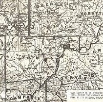
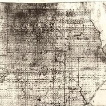
Cobb County as it appeared in 1845, before the changes were made in its original boundaries - Cobb County
1 map: photocopy
Record Type: Archive
-
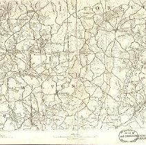
Cobb, Forsyth, and Milton Counties in Georgia - Milton, Forsyth, Cobb Counties in Georgia
1 map: photocopy
Record Type: Archive
-
-
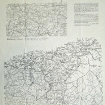
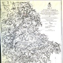
Map IV Illustrating the Military Operations of the Atlanta Campaign - Map IV illustrating the Military Operations of the Atlanta Campaign
1 map: photocopy
Record Type: Archive
-
-
Map of potential used for evaluating alternate location of Buford Dam and Lake Lanier - Cobb and Milton Counties
1 map: color
Record Type: Archive
-
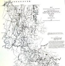
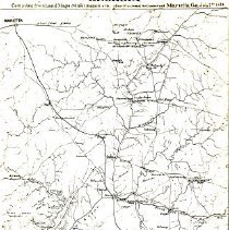
Map Showing the Operations of the National Forces Under the Command of Maj. General W. T. Sherman - Atlanta Campaign
1 map: photocopy
Record Type: Archive
-
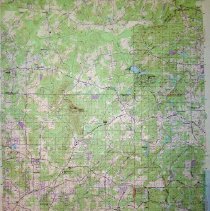
Mountain Park, GA Quadrangle U.S. Geological Survey - Mountain Park Quadrangle-Geological Survey
1 map: color
Record Type: Archive
-
Official Map of Georgia, Issued by Dept. of Agriculture - Official Map of Georgia, Issued by Dept. of Agriculture
1 map: color
Record Type: Archive

-
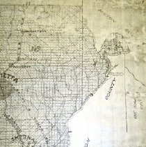
Part of Cobb and Fulton Counties Georgia (July 7th, 1864) - Part of Cobb & Fulton Counties Georgia
1 map: photocopy
Record Type: Archive
-
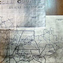
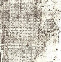
Roswell Area - Map of Cobb County - Roswell Area of Cobb County
1 map: photocopy
Record Type: Archive
-
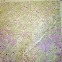
Sandy Springs Quadrangle U.S. Geological Survey - Sandy Springs Quadrangle Geological Survey
1 map: color
Record Type: Archive
-
Sessions Loan & Trust Co., Roswell Area, Cobb County - Cobb County
1 map: photocopy
Record Type: Archive
-
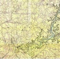
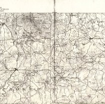
Suwanee Sheet, U.S. Geological Survey, Cherokee, Cobb, Milton, Forsyth, Pickens, Dawson Counties - Cherokee, Cobb, Milton, Forsyth, Pickens, Dawson Counties
1 map: photocopy
Record Type: Archive
-
Two Maps Showing the Atlanta Campaign North of the Chattahoochee River (One large/one small) - Two maps showin the Atlanta Campaign north of the Chattahoochee River
1 map: photocopy
Record Type: Archive